
0. Photo of the day is a map with a mountain range blocking the march
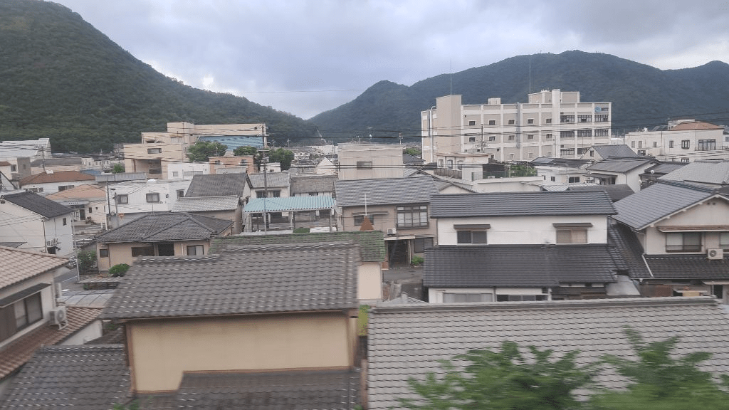
1. As I wrote yesterday, I will leave my lodging in front of Okayama Station at dawn today, cross Okayama Prefecture by train, and move to Bizen Fukugawa Station in Hyogo Prefecture.
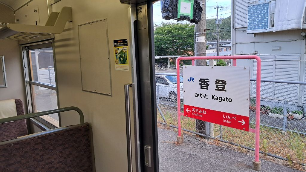
2. I met Kagato Station, which I walked to yesterday.

3. The sea seen through the train window.

4. Take the single-track Ako Line for an hour to Bizen Fukugawa Station.

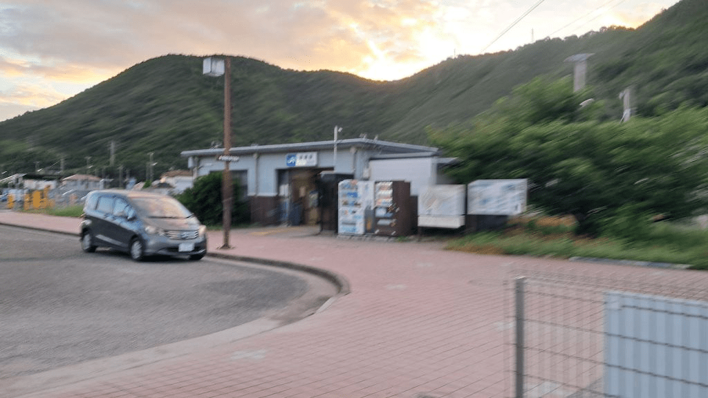
5. Arrived exactly at 6:56. Start walking from here.

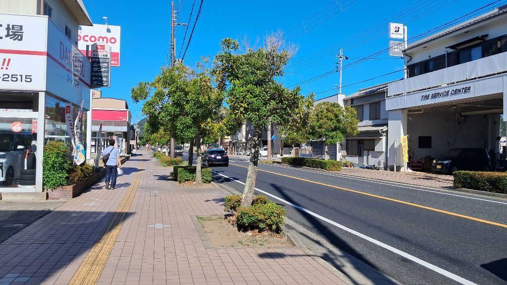
5-1. Morning marches are relatively short.
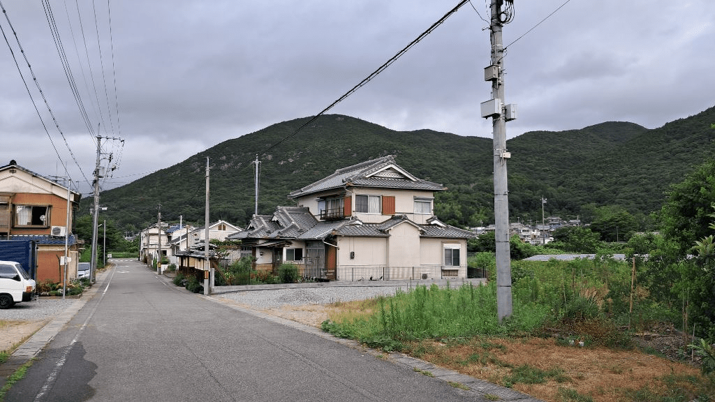
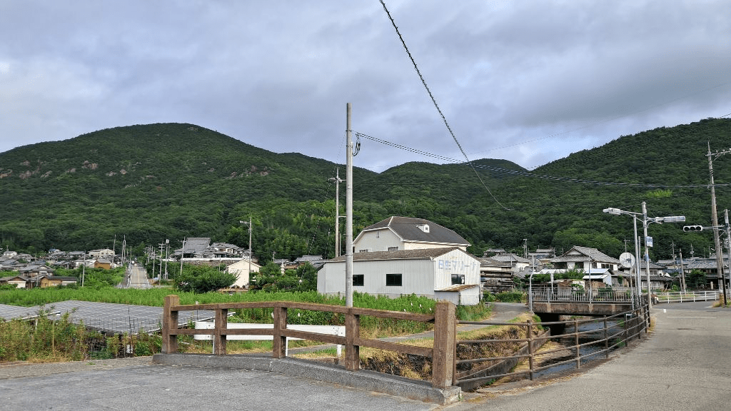
6. It is a quiet rural village.
7.

8.

9. It appears to be a bamboo frame for making brooms.

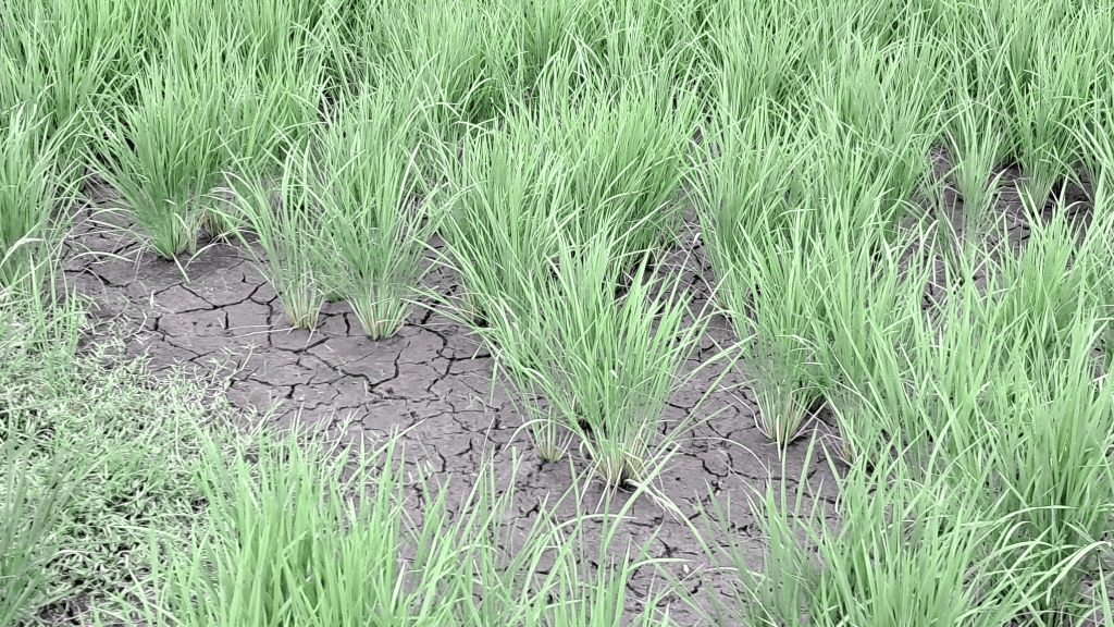
10. A manufacturer’s porch roof is made of solar panels.
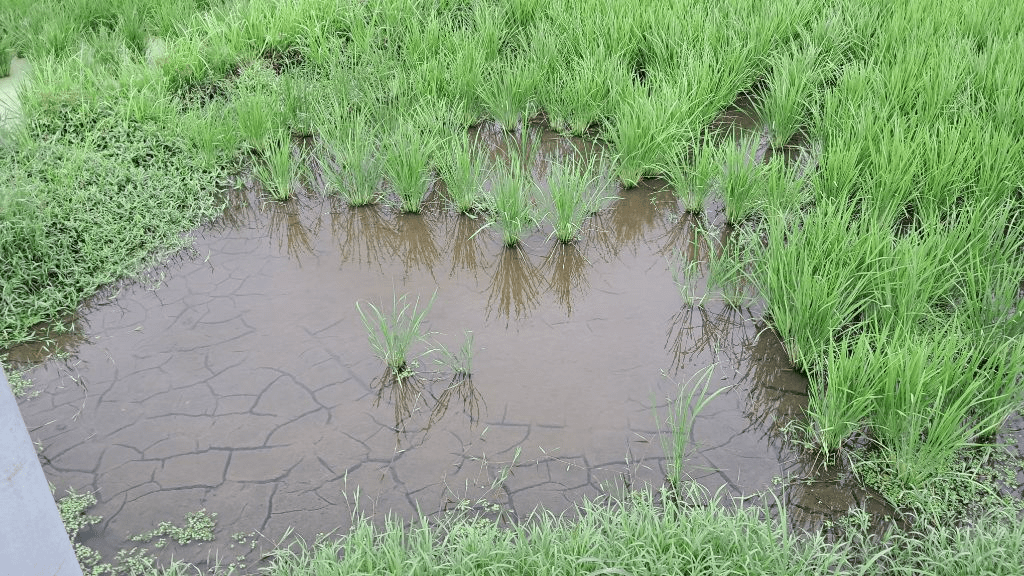
11. Some paddy fields are in the process of being dried,
12. And I also see rice fields filled with water.

13. Among convenience stores in Japan, the good thing about Family Mart is that it has a rest area like this. Enjoy snacks during breaks.

14. Walk about 8 km to Banshuako Station. After finishing my morning schedule, I move to Aioi Station by train to go to the lodging where I will stay tonight. I can’t check in early, but I can stay and relax in the hotel lobby.

15. The Higawari set meal I ate at a nearby restaurant.

16. Come back to Banshuako Station at 4:00 PM and start the march. It’s a scorching afternoon over 35 degrees.
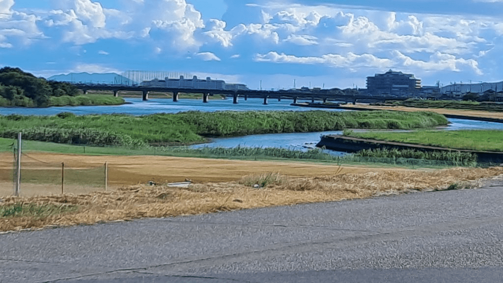
17.
18. The scenery is great.

19.

20. This village has many solar fields.

21. The roof of a newely built house is also worth seeing.

22.

23. Besides this kind of environment, I also see this impressive range of mountains.
Up until this point, I thought I was walking on a smooth course.
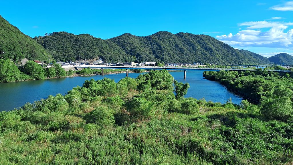
24. Even until I cross a nice river.
24. But all of a sudden, only narrow roads remain and sidewalks disappear!
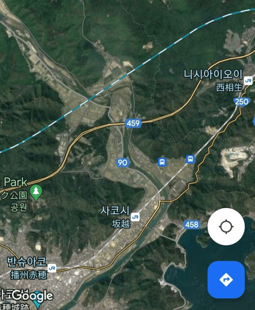
It is Route 250 in the upper right of the photo above.
On Google, it’s clearly a walkable road, but…

25. Zooming in, after crossing the bridge at the bottom left of the picture and walking along Route 250, soon only the road remains and the sidewalk disappears, leaving you with no choice but to walk to the village road on the left. The problem is that the road to the hill after entering the village is closed. It is probably because of the management of the quarry in the upper right corner of the photo.
26.
27. So I had no choice but to go around the village, return to the bridge on the map of photo 25 above, cross it, and go to Sakoshi Station on the map of 24.

28. Arrive at Sakoshi Station. The distance I walked this afternoon was about 9 km.

29. Local billboard
30. A historical map of the town is also shown.
At this point, I decide to wrap up today’s march schedule.

30. After returning to my lodgings in Aioi, I soothe my regret about today’s interrupted march with local sake.

31. While drinking and browsing the Internet, I see news that a walking march is heating up in Daegu.
Categories: Korean-Japanese citizen walking march

Leave a comment